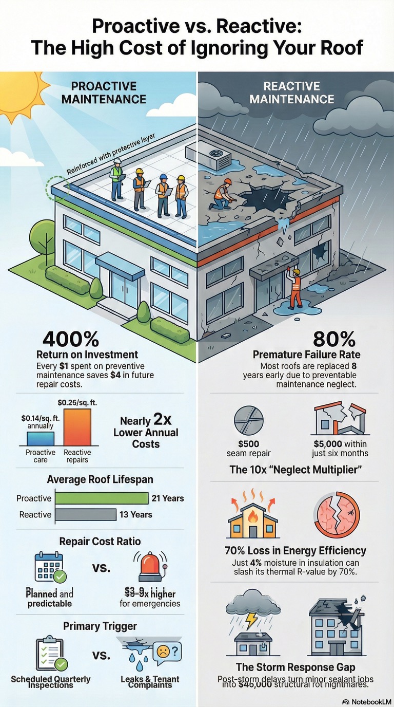
For building owners and facility managers, a roof problem is rarely just a roof problem. Once moisture enters the building envelope, the damage can spread fast—insulation performance drops, interior finishes deteriorate, mold risk rises, operations get interrupted, and repair costs multiply. By the time a leak becomes visible inside a building, the underlying issue has often existed for quite a while.
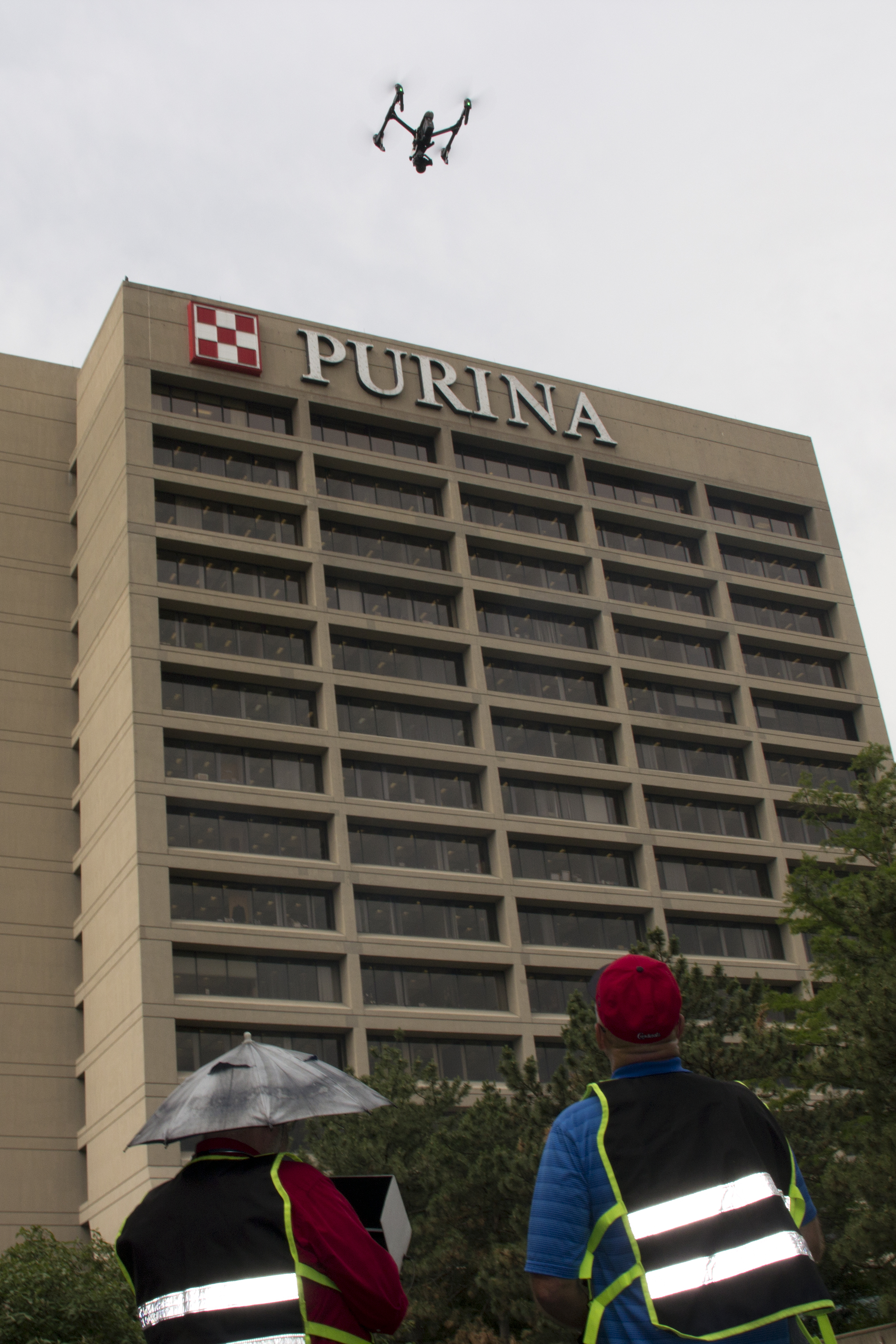
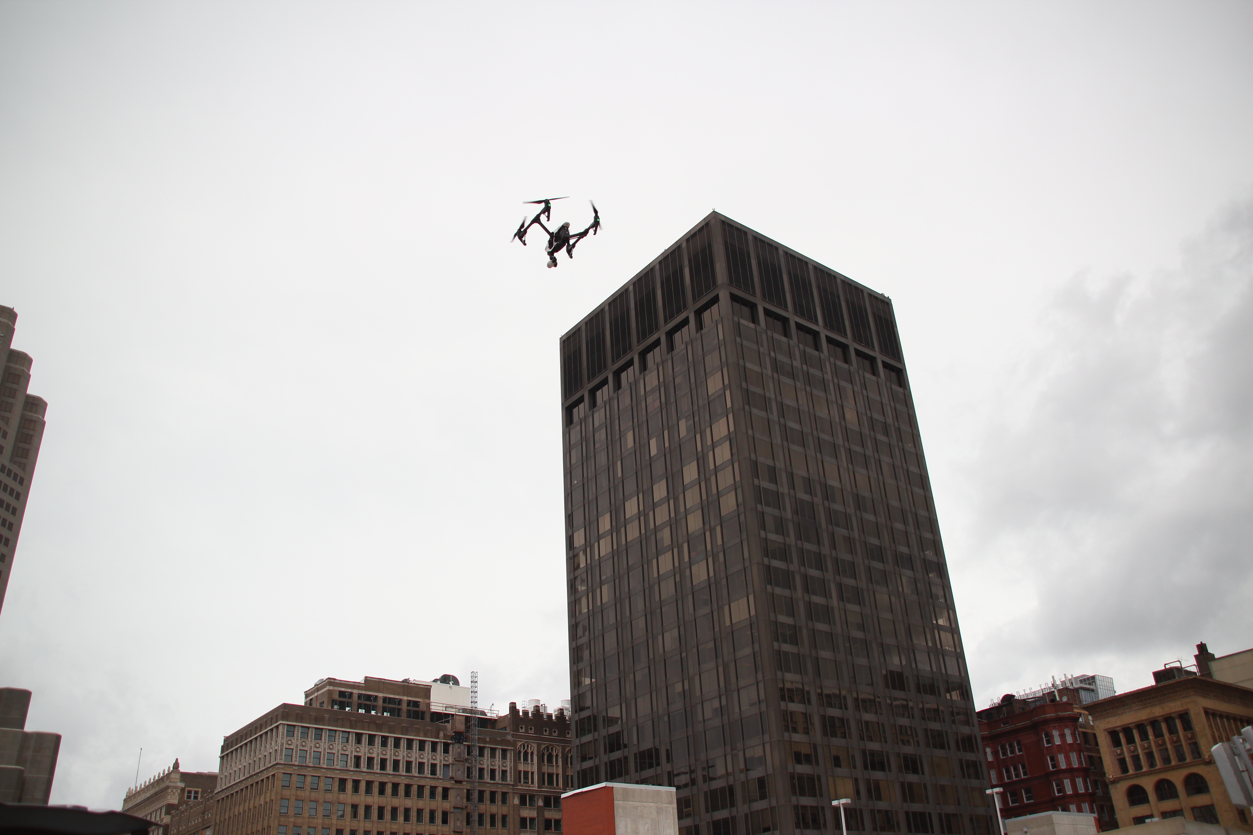
That is why infrared drone inspections have become such a valuable tool for commercial roof assessment. Instead of waiting for stains on ceiling tiles, wet insulation, or occupant complaints, organizations can use thermal imaging from drones to identify hidden anomalies early—often before active leaks become obvious. For decision makers responsible for facilities, maintenance budgets, property management, and capital planning, that changes the conversation from reactive repair to proactive asset management.
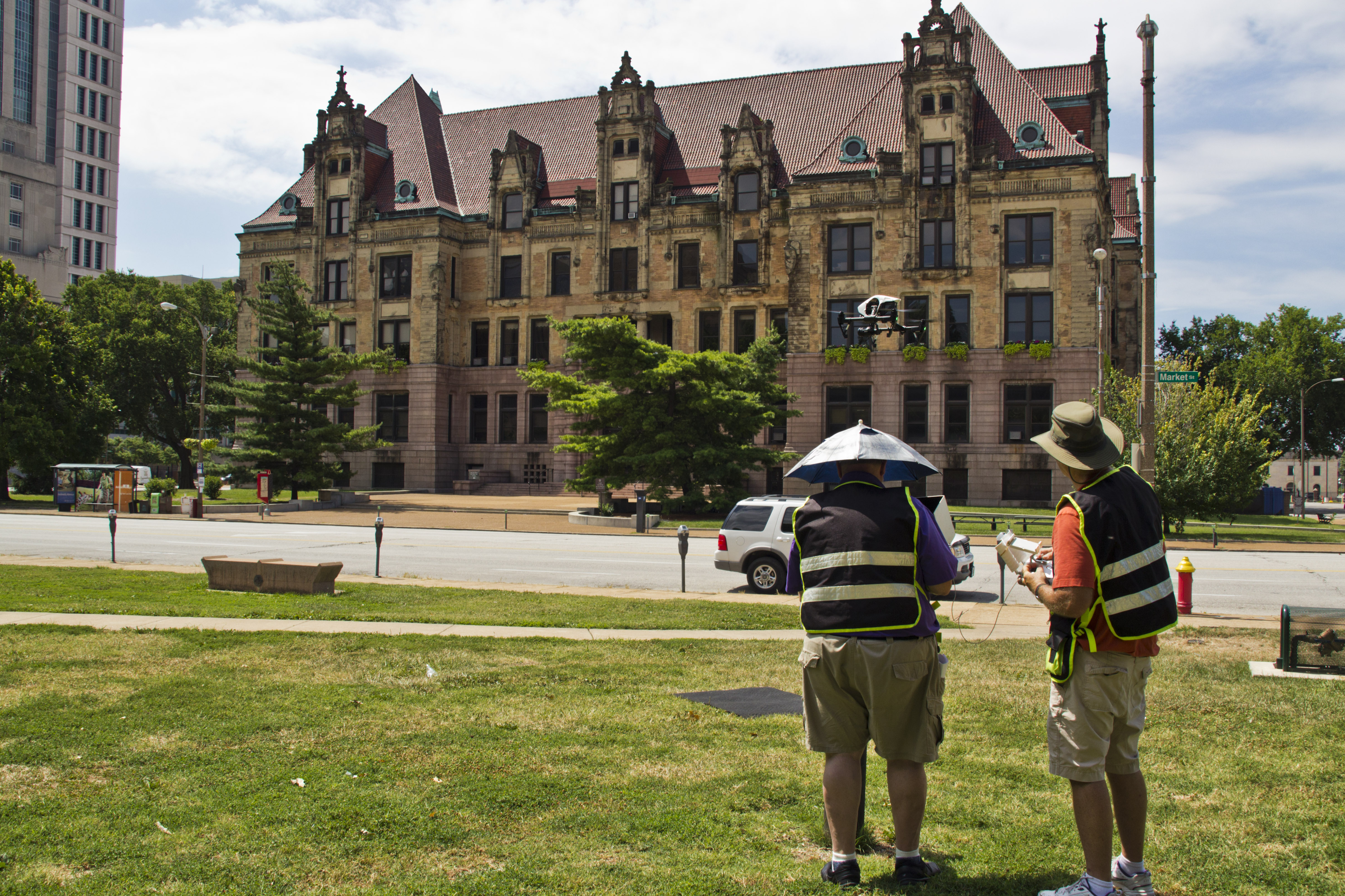
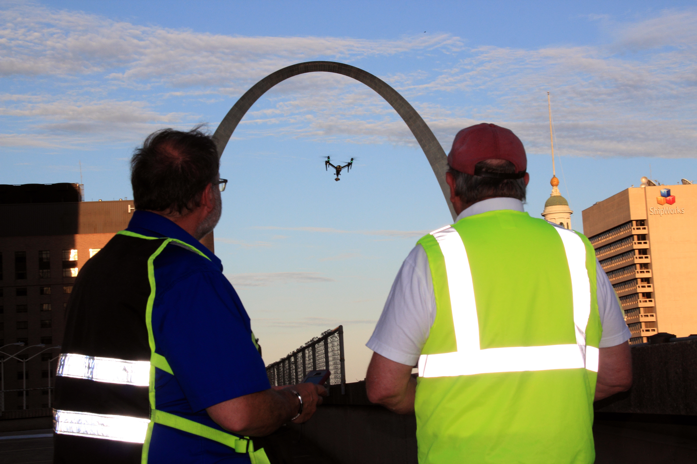
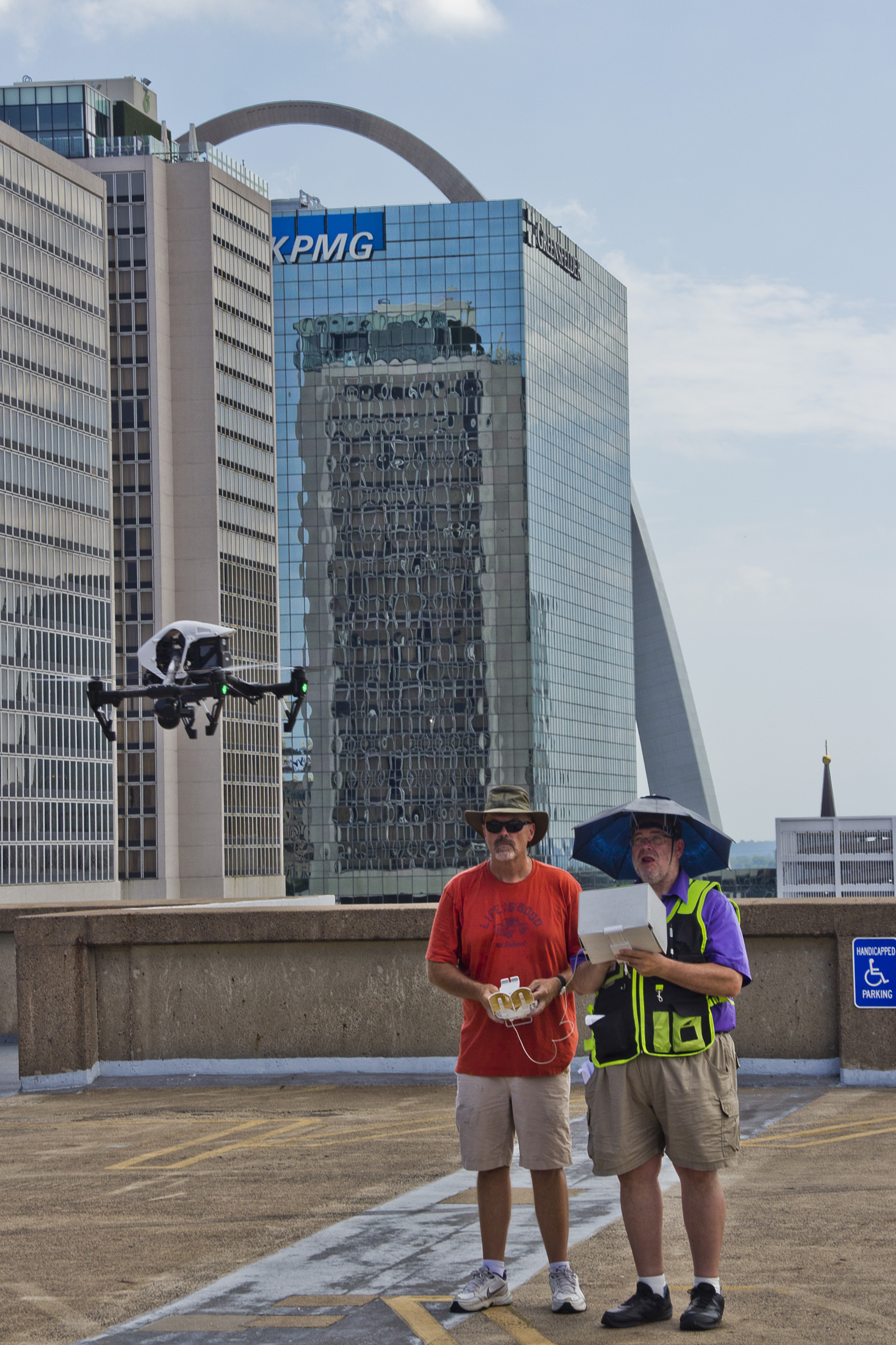
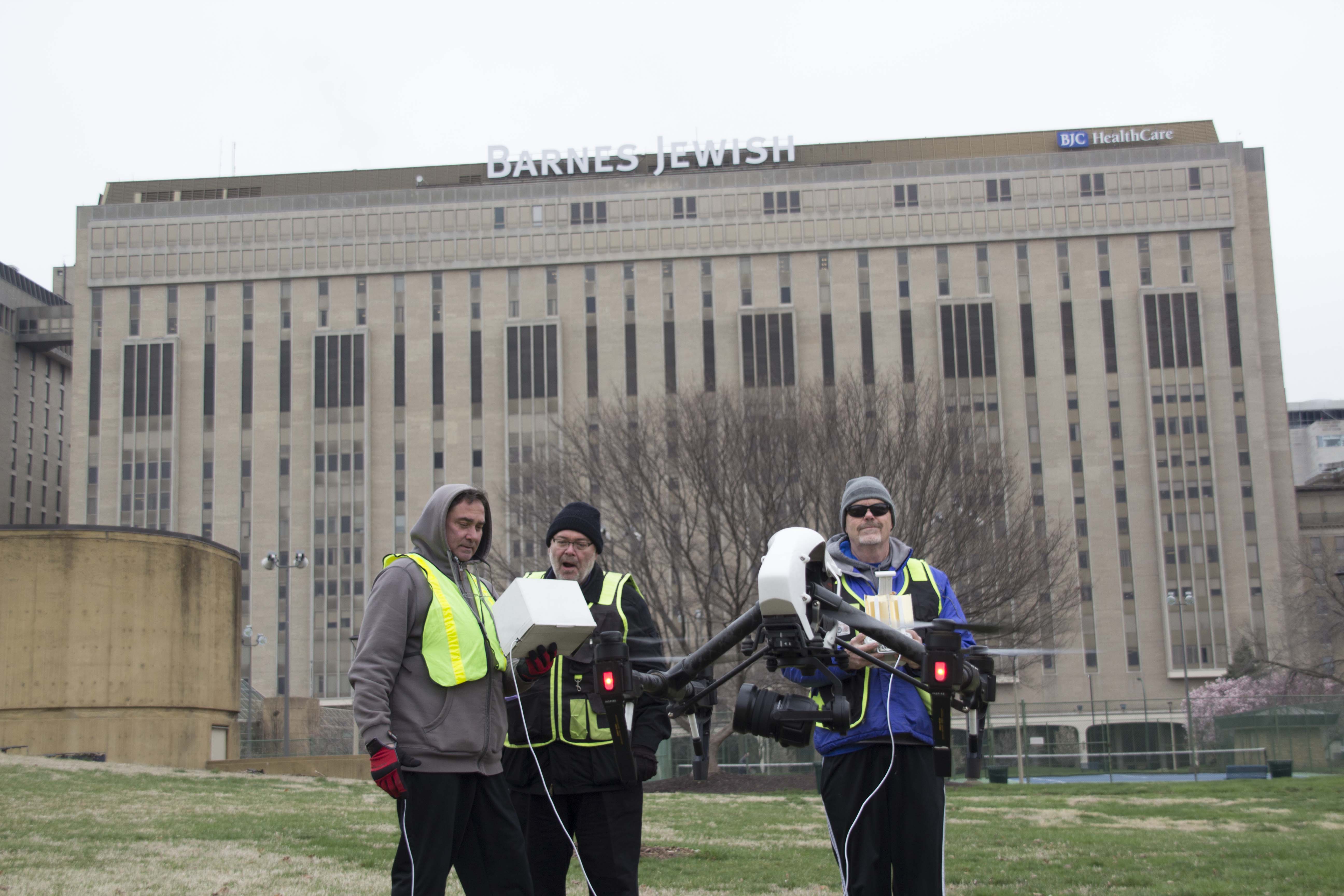
At St Louis Aerial Photography, we have seen how infrared drone technology helps businesses detect roof defects before they become expensive emergencies. When used correctly, thermal drone imaging can reveal patterns that suggest trapped moisture, failing seams, compromised insulation, drainage problems, and other developing conditions that deserve closer evaluation.
Why Roof Problems Often Stay Hidden
Commercial roofs are complex systems. Membranes, seams, flashing, insulation, penetrations, drains, curbs, and rooftop mechanical units all work together. A failure in one area may not show itself immediately inside the building. Water can travel laterally, collect in insulation, or remain trapped beneath the membrane long before a visible leak appears.
Traditional roof inspections still matter, but they have limitations. Walking a roof and visually checking seams, flashing, and penetrations can identify obvious defects, but it does not always reveal what is happening beneath the surface. Moisture intrusion, heat retention differences, and insulation failure can remain invisible to the naked eye.
This is where infrared drone imaging adds real value. It helps decision makers see more than surface appearance alone.
What Infrared Drones Actually Detect
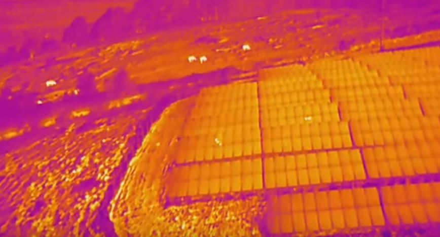
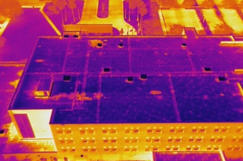
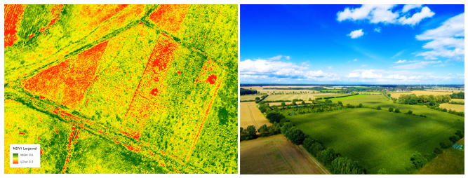
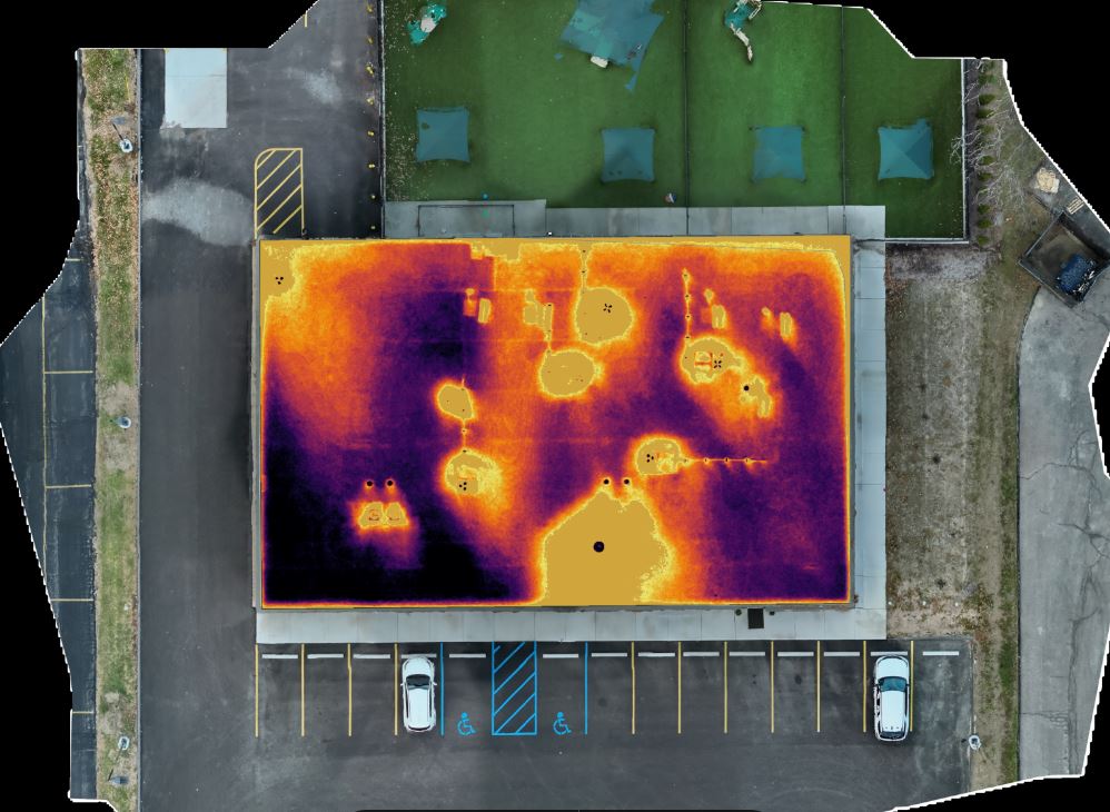
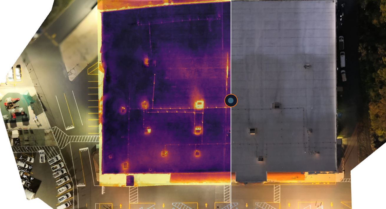
Infrared cameras do not “see” water directly. They detect temperature differences across the roof surface. Those differences can point to conditions that warrant further investigation.
For example, areas containing trapped moisture often heat and cool differently than dry sections. Wet insulation may retain heat longer after sunset or respond differently during certain inspection windows. Thermal contrast can create visible patterns that help experienced operators and analysts identify suspect areas.
In practical terms, an infrared drone inspection may reveal:
- Areas of potential trapped moisture beneath the roof membrane
- Wet insulation zones that reduce thermal efficiency
- Drainage issues or standing-water-related patterns
- Defects near penetrations, seams, flashing, and roof edges
- Thermal irregularities around rooftop mechanical systems
- Larger developing problem areas that are not obvious from ground level
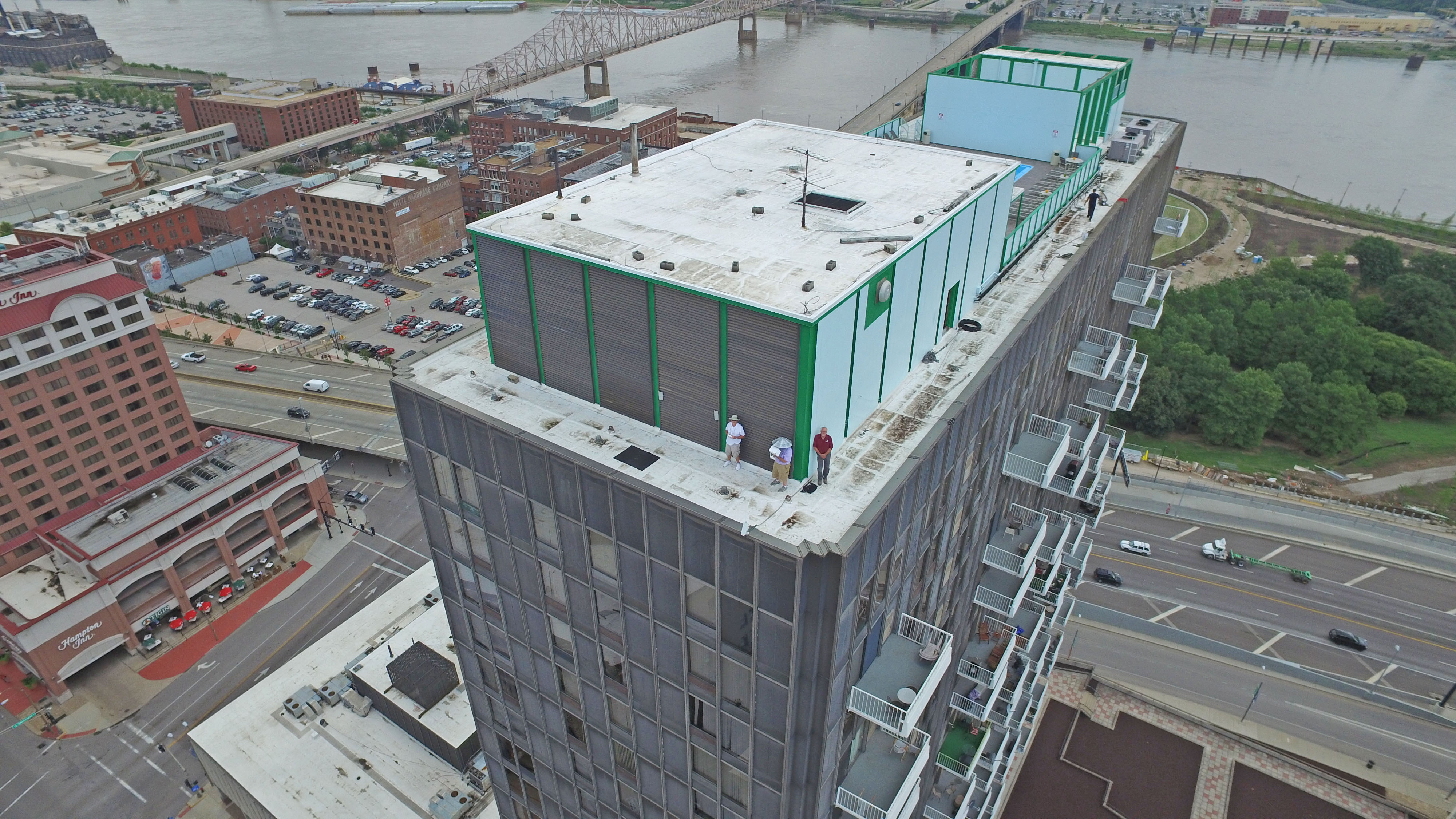
This is especially useful on large commercial, industrial, institutional, and multi-building properties where manual inspection alone can be slow, incomplete, or costly.
Why Early Detection Matters
The financial advantage of early detection is substantial. A localized repair is far less expensive than widespread remediation after moisture has spread through insulation, decking, ceilings, and wall assemblies. In many cases, the hidden costs of delayed discovery are more serious than the roof repair itself.
Early detection helps organizations:
- Reduce the risk of disruptive interior leaks
- Avoid broader water damage to finishes, equipment, and inventory
- Improve maintenance planning and budget forecasting
- Extend the service life of existing roof systems
- Prioritize repairs based on documented conditions
- Support facility management with better visual evidence
For property owners managing multiple sites, infrared drone inspections can also help establish inspection baselines across an entire portfolio. That makes it easier to compare conditions, prioritize capital expenditures, and determine which roofs need immediate attention versus scheduled maintenance.
Why Drones Are So Effective for Roof Assessment
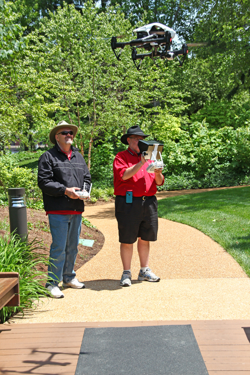
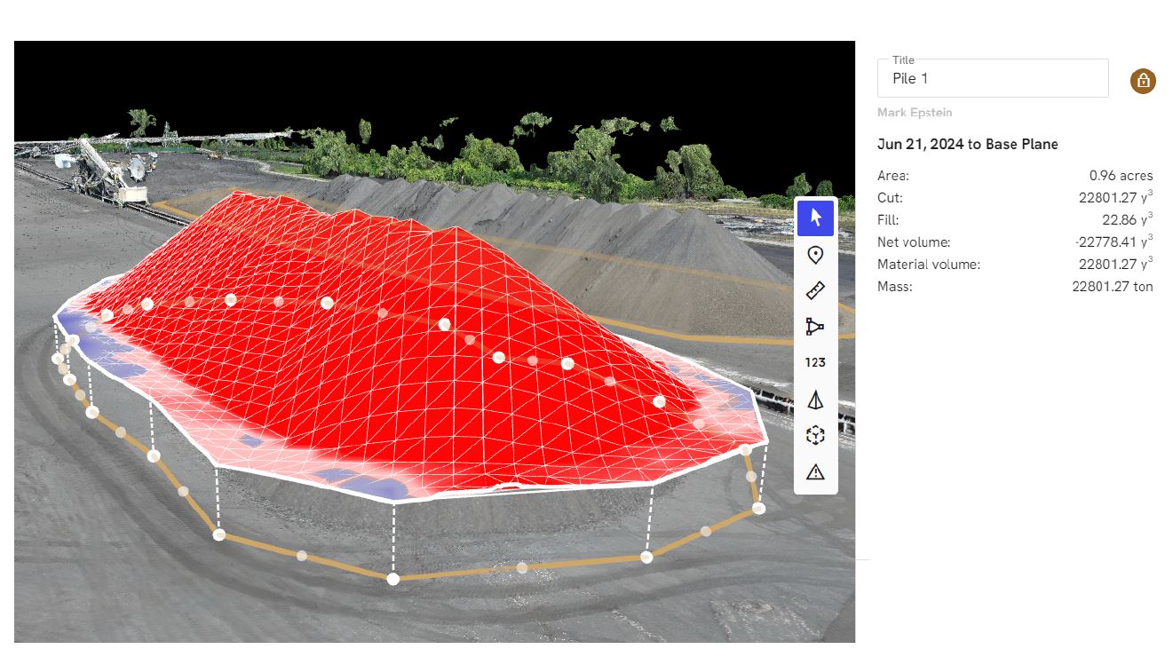
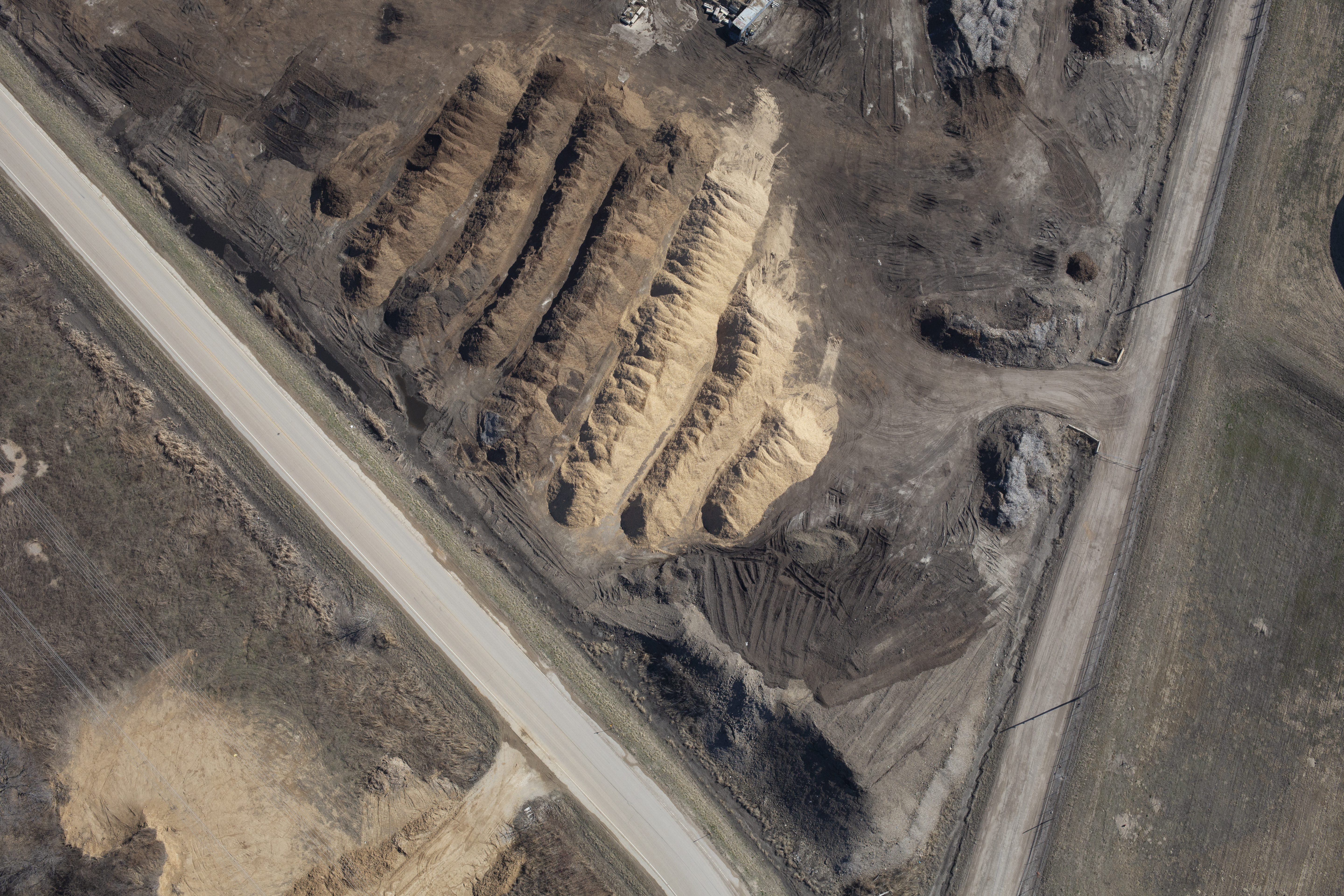
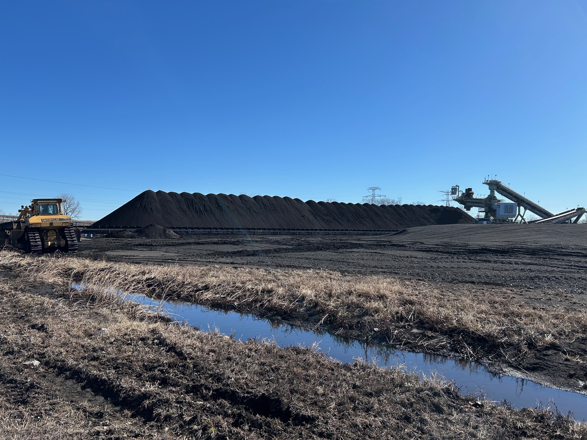
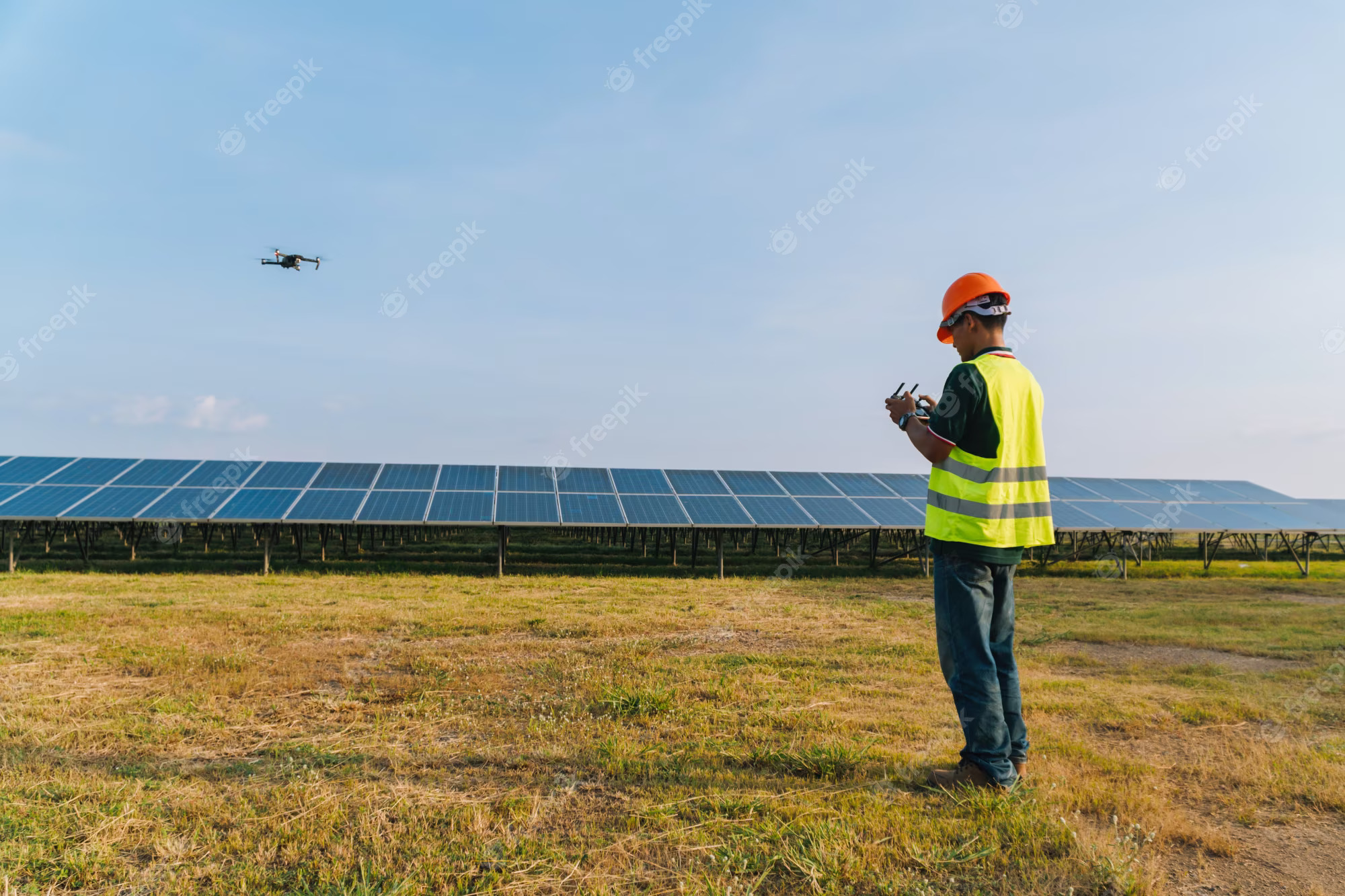
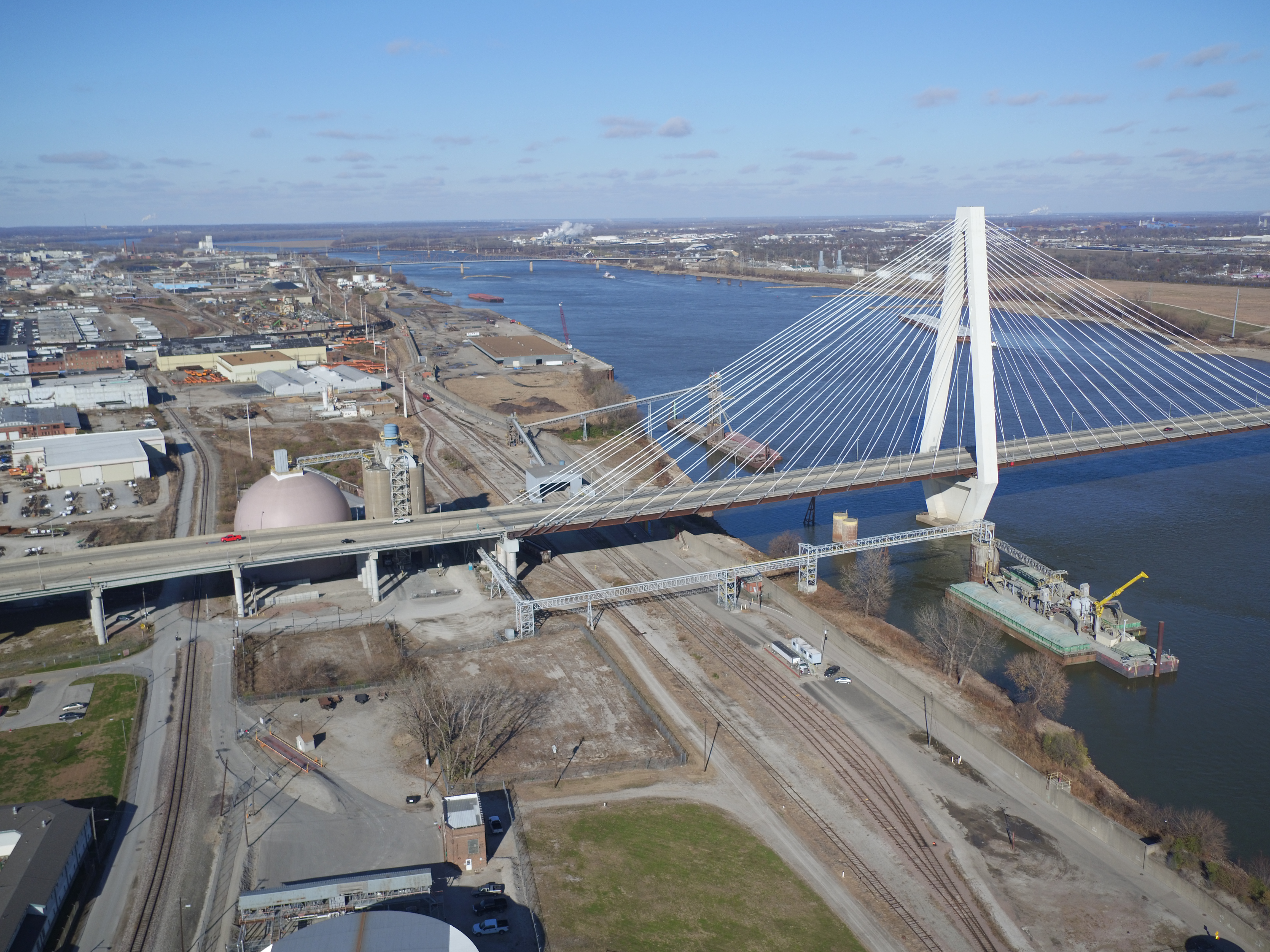
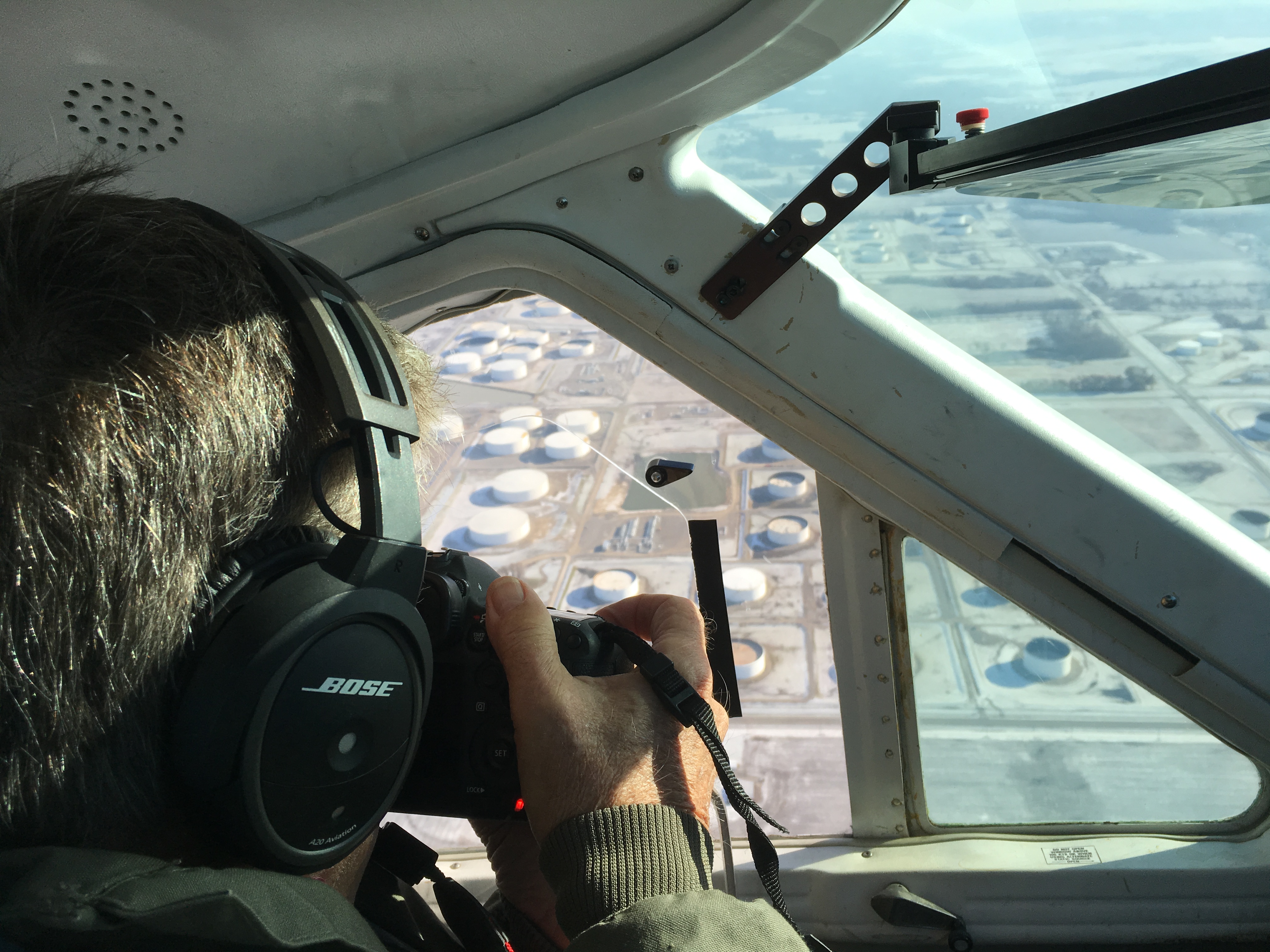
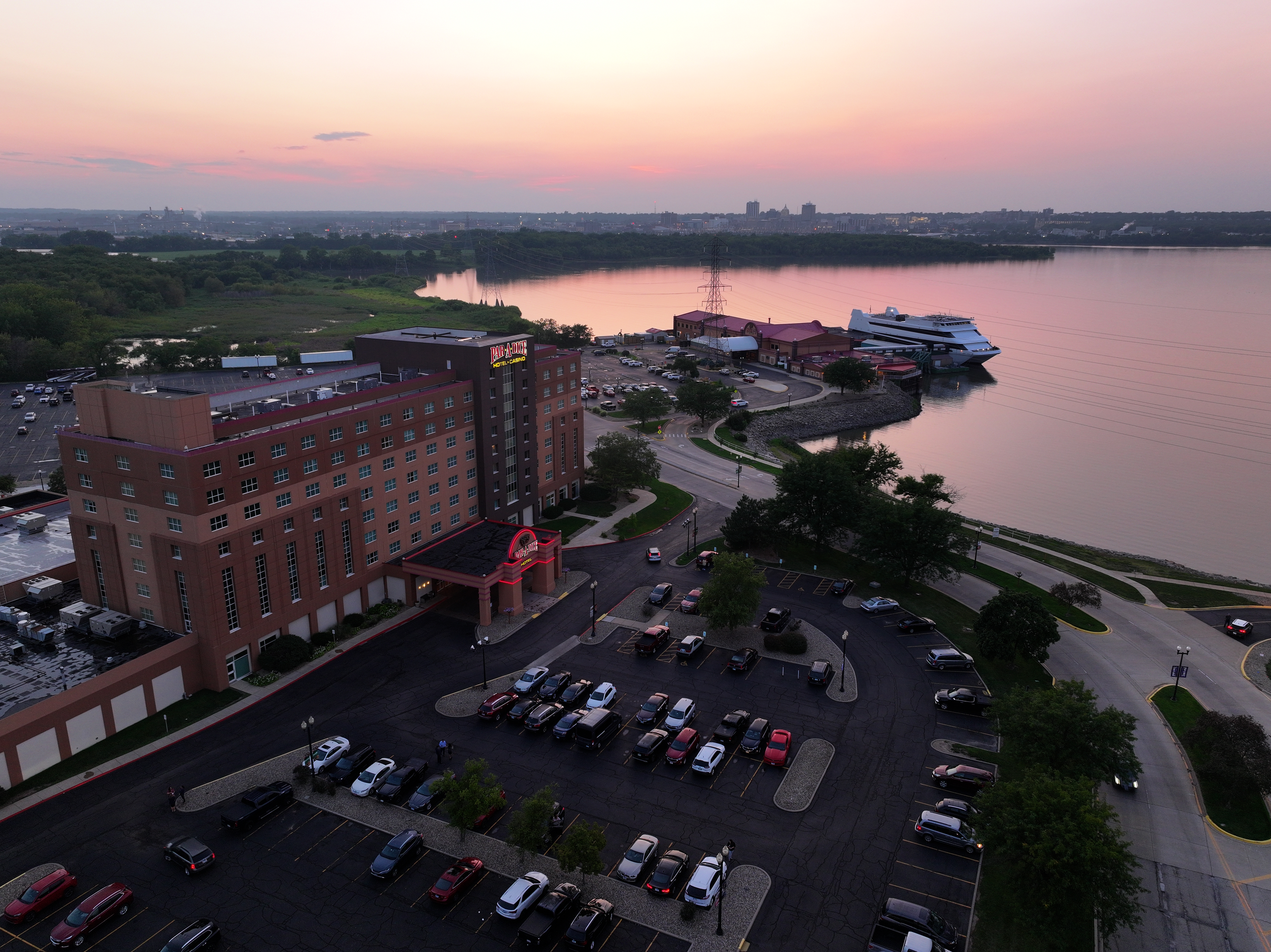
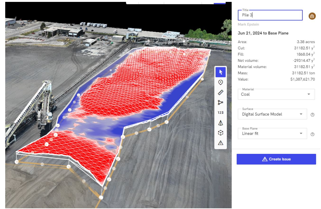
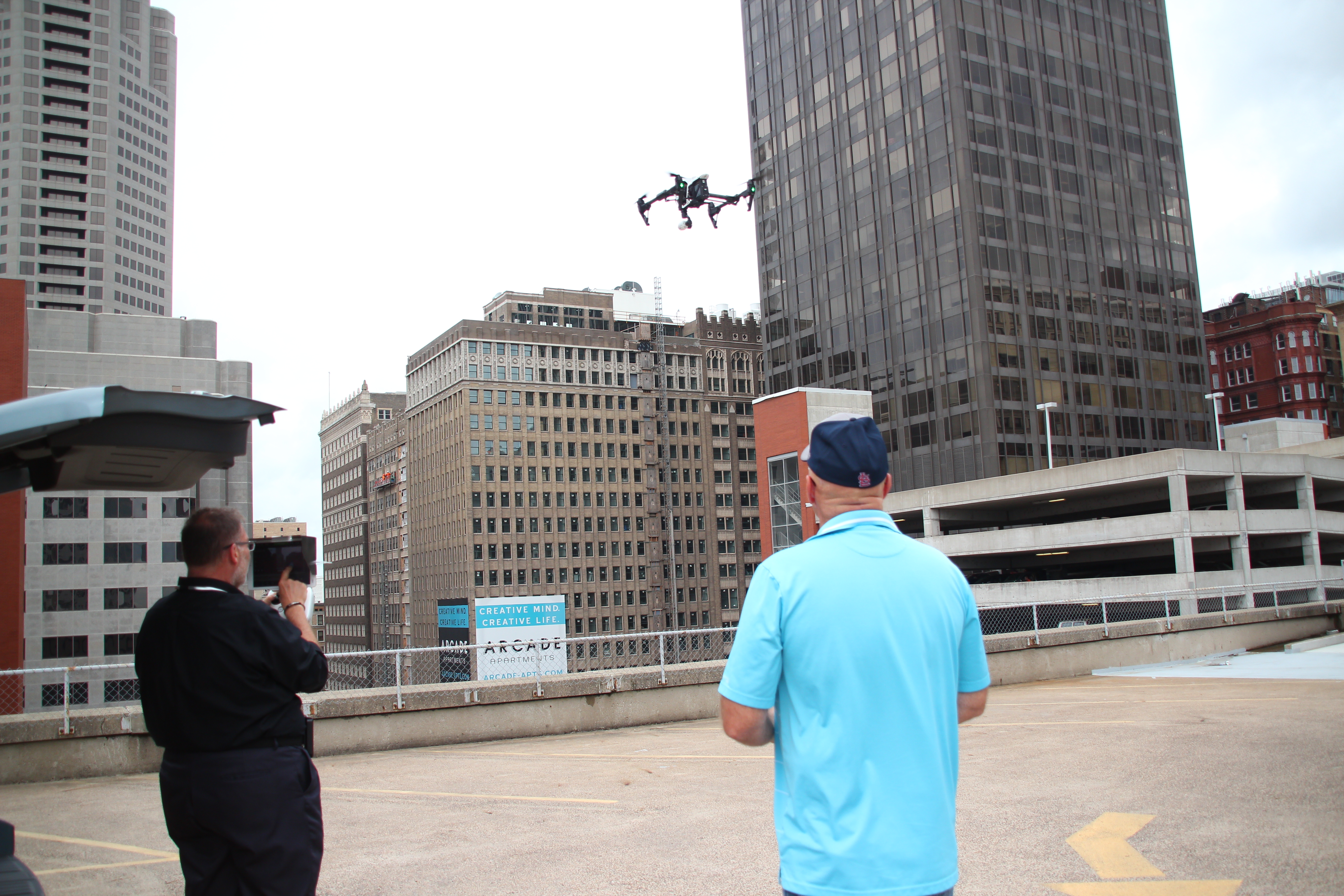
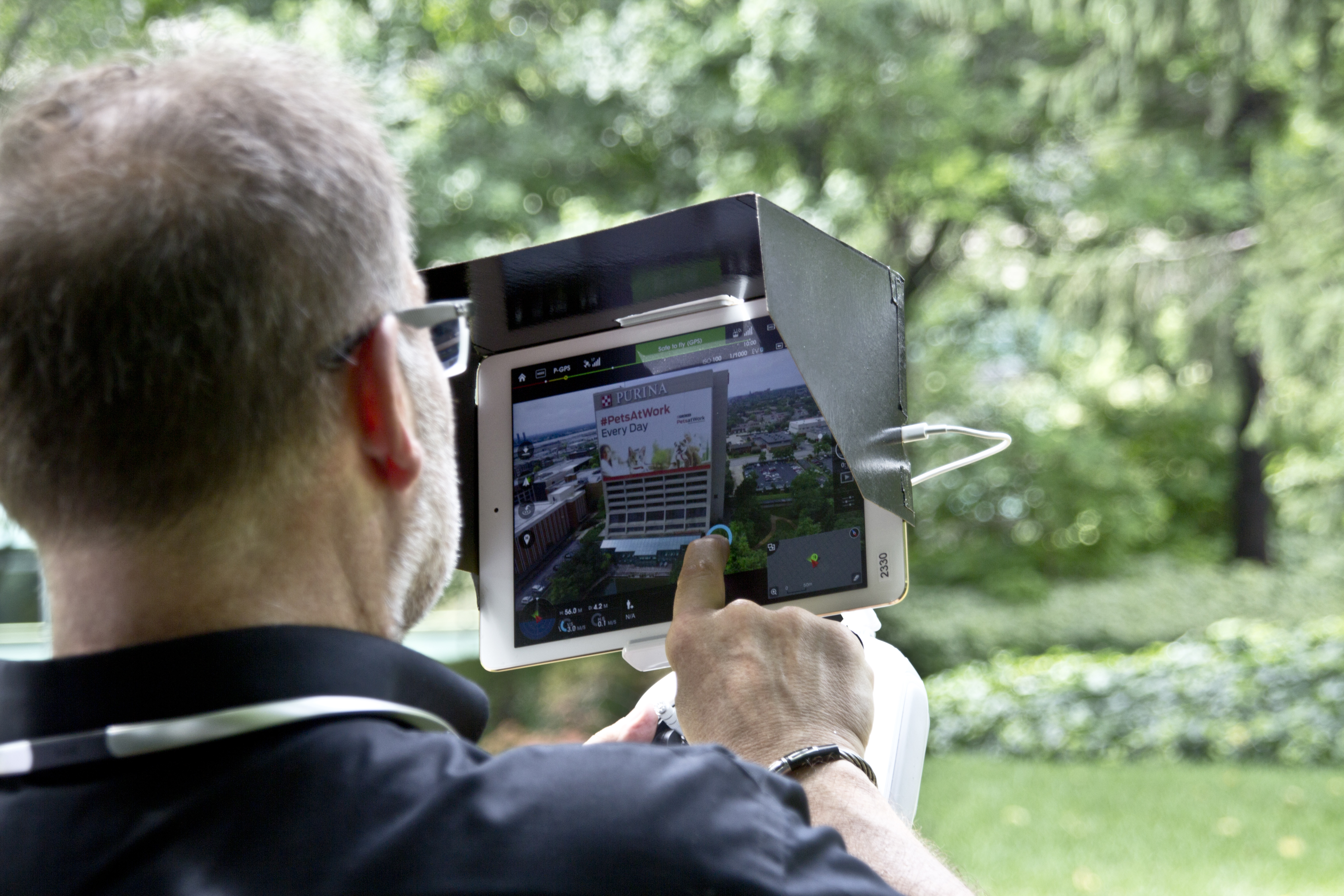
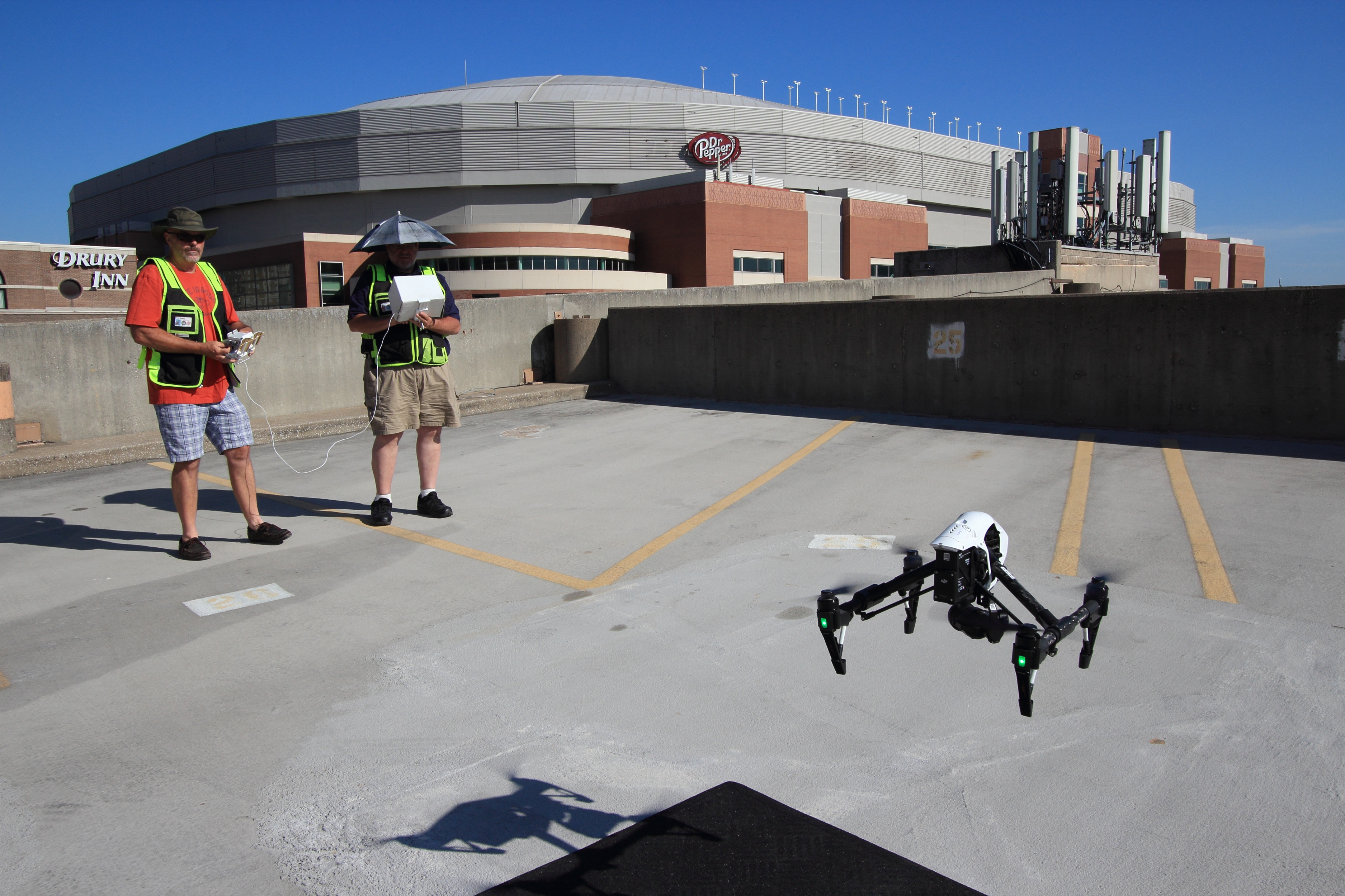
Drones give inspectors and property teams a faster, safer, and more comprehensive view of roof systems. Instead of relying only on ladders, lift equipment, or walking every square foot, a drone can capture high-resolution thermal and visible imagery across large roof surfaces efficiently.
That means better coverage in less time.
A properly planned infrared drone mission can document:
- Large low-slope commercial roof systems
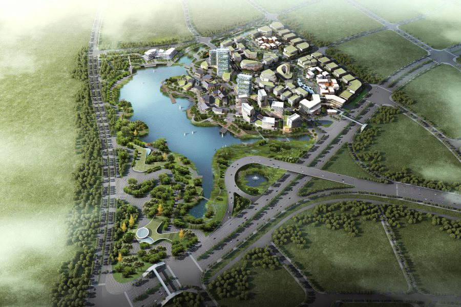
- Multi-building campuses
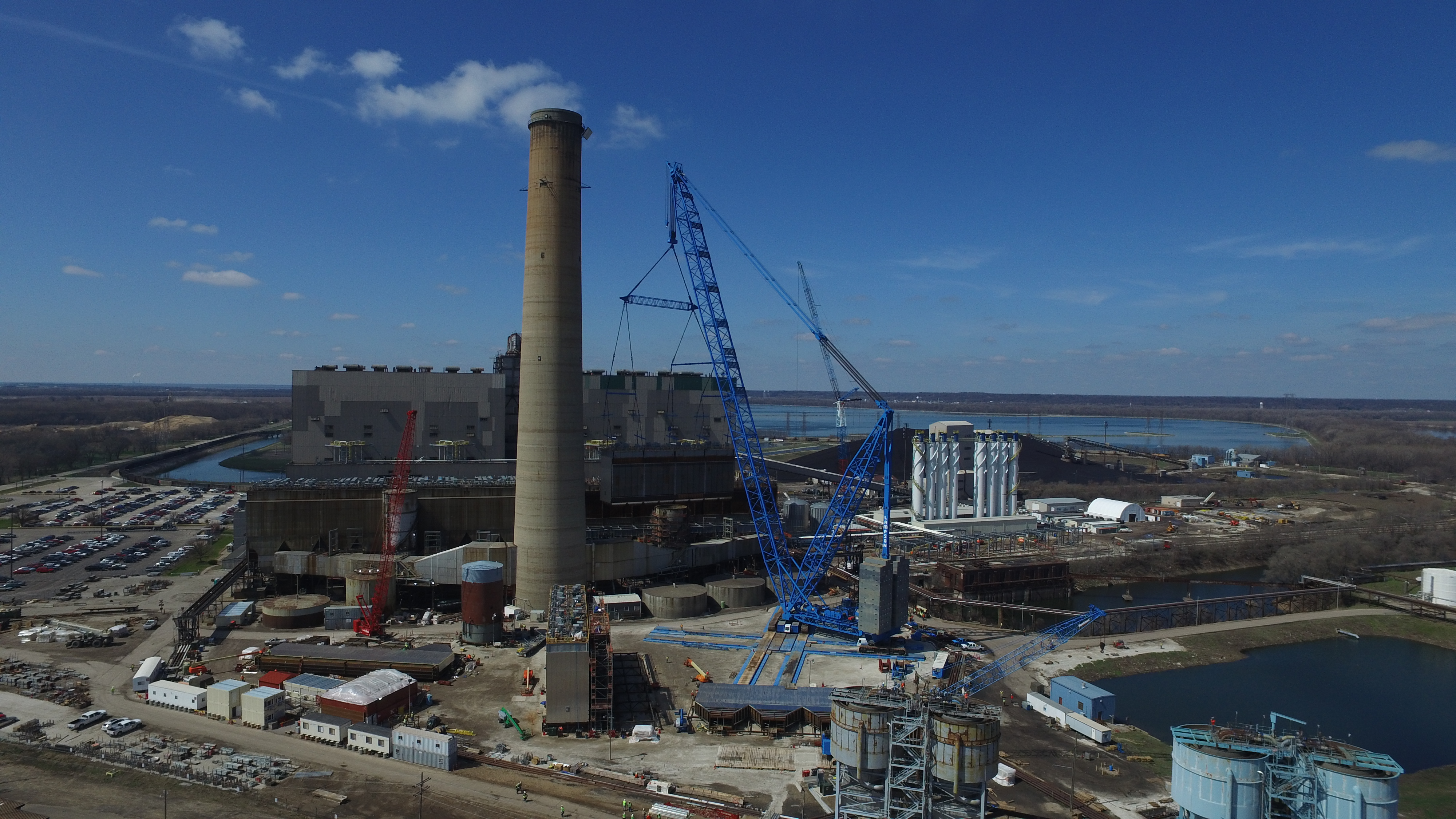
- Warehouses and industrial facilities
- Retail centers and office buildings
- Schools, hospitals, and institutional properties
- Hard-to-access areas or roofs with safety concerns
The value is not only speed. It is also consistency. Drone-based imaging creates a visual record that can be reviewed, compared over time, shared with consultants, and used in maintenance documentation. For many organizations, that visual proof improves internal decision-making and helps justify repairs to stakeholders, owners, boards, or tenants.
The Best Use of Infrared Drone Inspections
Infrared drone inspections are most effective when they are used as part of a broader roof management strategy, not as a standalone magic answer. Thermal anomalies indicate areas of concern, but they should be interpreted by experienced professionals and, when necessary, verified with follow-up inspection methods.
In other words, infrared drone data is highly useful for locating likely problems and narrowing the search area. It helps teams work smarter. Instead of guessing where moisture may be present, they can focus attention where the thermal evidence suggests a defect may be developing.
This can be particularly useful when:
- A roof appears visually acceptable but performance is in question
- A facility wants to inspect before warranty expiration
- A property owner is budgeting for repair versus replacement
- A building has had recurring leaks without a clear source
- A storm event has raised concerns about hidden roof damage
- A facilities team wants documentation for preventive maintenance
Timing and Conditions Matter
Thermal roof imaging is not simply a matter of flying a drone overhead at any hour and expecting reliable results. Successful infrared inspection depends on environmental conditions, roof composition, weather, sunlight exposure, recent rainfall, and the timing of the flight.
That is one reason experience matters. The collection of thermal imagery requires more than owning a drone with an infrared camera. It requires understanding when roof materials are likely to show meaningful thermal contrast and how to document the results in a way that is useful to clients.
Poor timing can reduce the value of the data. Proper timing can reveal patterns that would otherwise be missed.
More Than a Maintenance Tool—A Strategic Asset
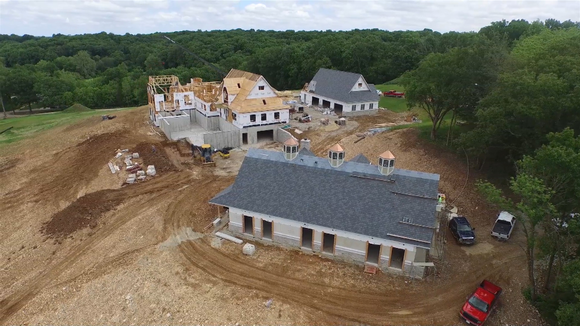
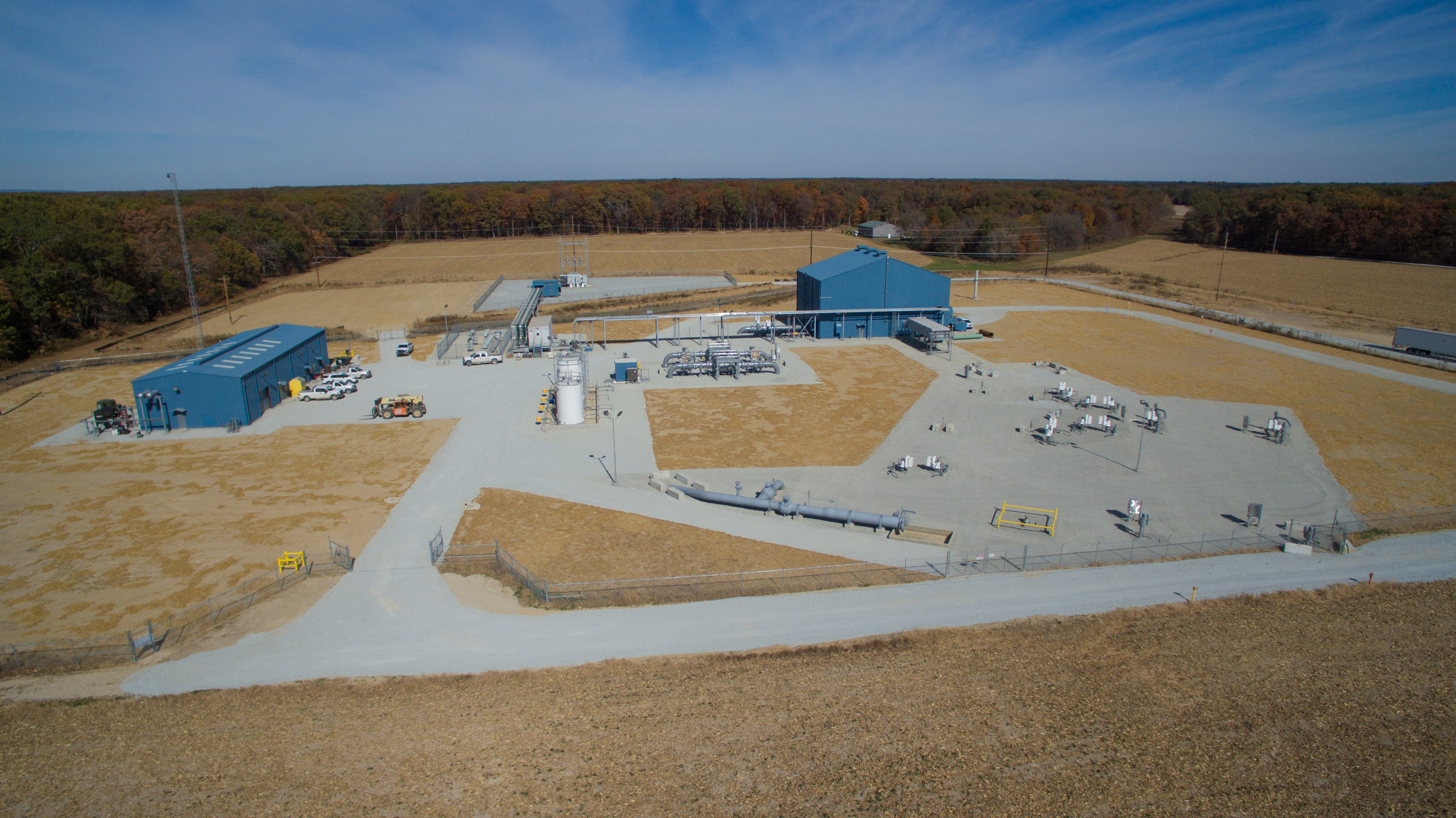
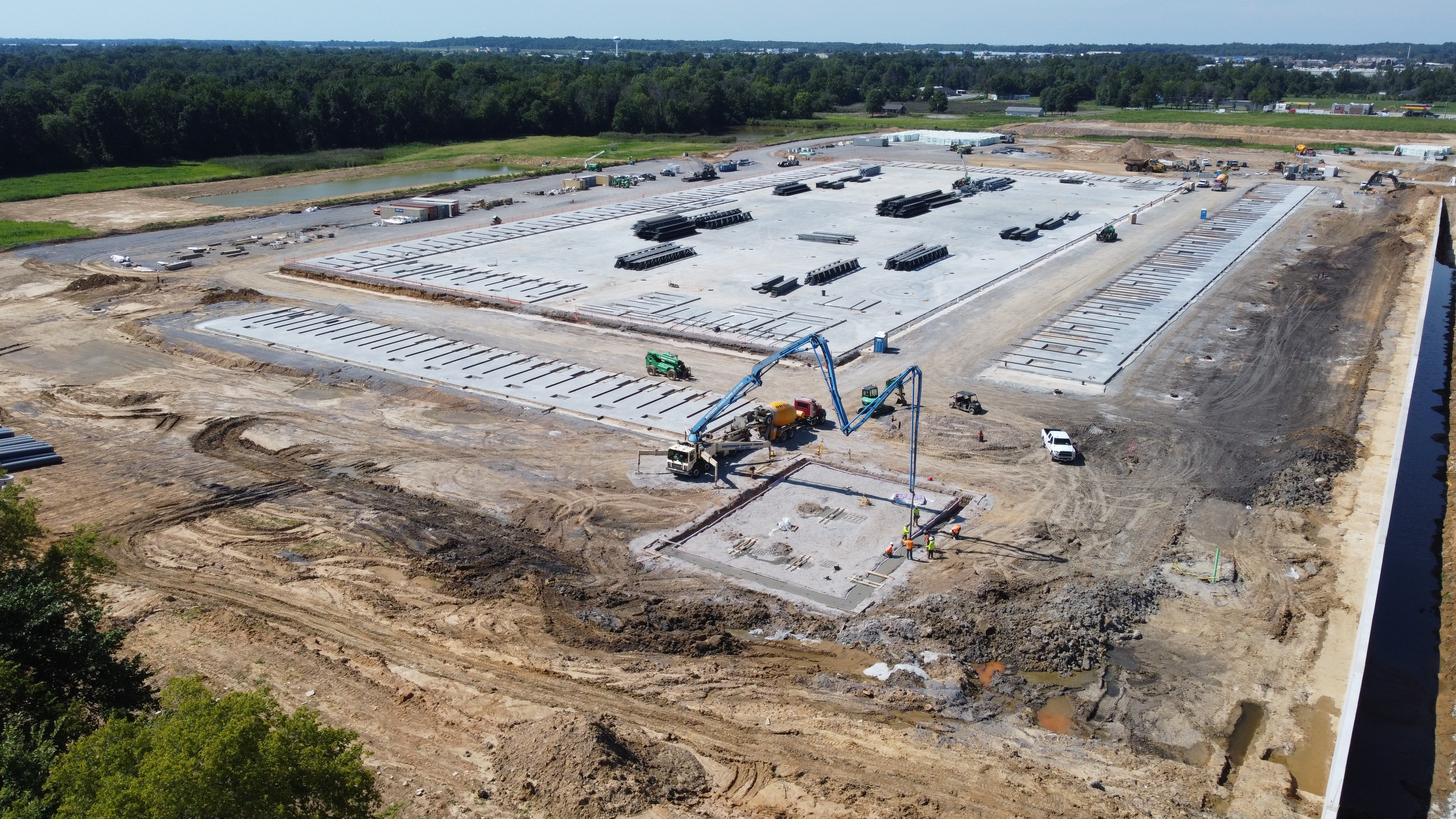
For marketing-minded organizations, there is also an overlooked advantage. Aerial infrared and standard drone imaging can serve multiple business needs from the same production effort. Beyond inspection support, companies can often repurpose aerial visuals for presentations, investor communications, website content, construction progress documentation, case studies, recruiting materials, and internal reporting.
That matters to organizations trying to maximize the value of every production budget.
Aerial imaging no longer needs to serve just one purpose. The same production planning that supports an operations or facilities objective can also contribute to broader brand communication and business storytelling when captured by the right production team.
Choosing the Right Drone Imaging Partner
Not all drone providers approach roof imaging the same way. Some simply fly, capture images, and deliver files. That may not be enough for organizations making real maintenance and budgeting decisions.
A better partner understands production, documentation, image quality, data usefulness, safety, and the business context behind the assignment. For commercial clients, that means working with a team that can capture technically sound imagery, organize deliverables clearly, and communicate findings visually in a format decision makers can actually use.

When evaluating a provider, organizations should consider:
- Experience with both aerial imaging and commercial production workflows
- Understanding of thermal imaging limitations and proper collection methods
- Ability to capture both visible and infrared documentation
- Quality of deliverables for maintenance, reporting, and presentations
- Knowledge of safe operations around buildings and active facilities
- Ability to integrate drone work into larger photography and video needs
Infrared Drones Help Shift Roofing From Reactive to Proactive
The biggest advantage of infrared roof imaging is not that it replaces every traditional inspection method. It is that it helps organizations find trouble sooner, document conditions better, and make smarter decisions before damage escalates.
Waiting for leaks is expensive. Waiting for interior symptoms is even worse. When hidden roof defects are identified early, businesses have more control over scheduling, budgeting, repair scope, and disruption to operations.
That is the real value of infrared drone technology. It helps decision makers move from uncertainty to evidence, and from emergency response to strategic maintenance.
Work With an Experienced St. Louis Production Team
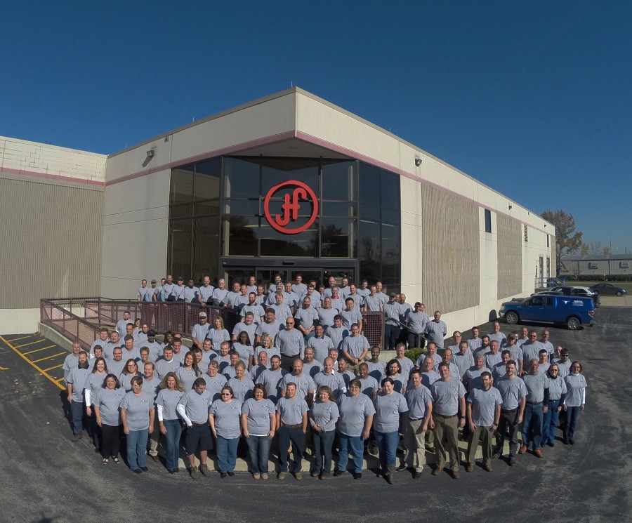
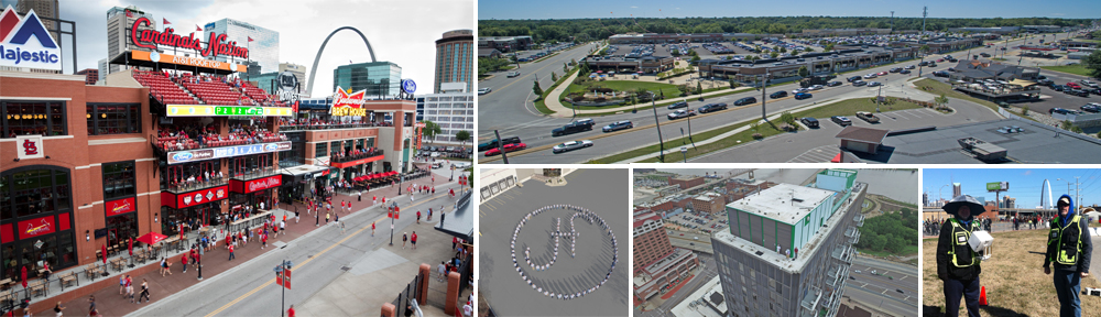
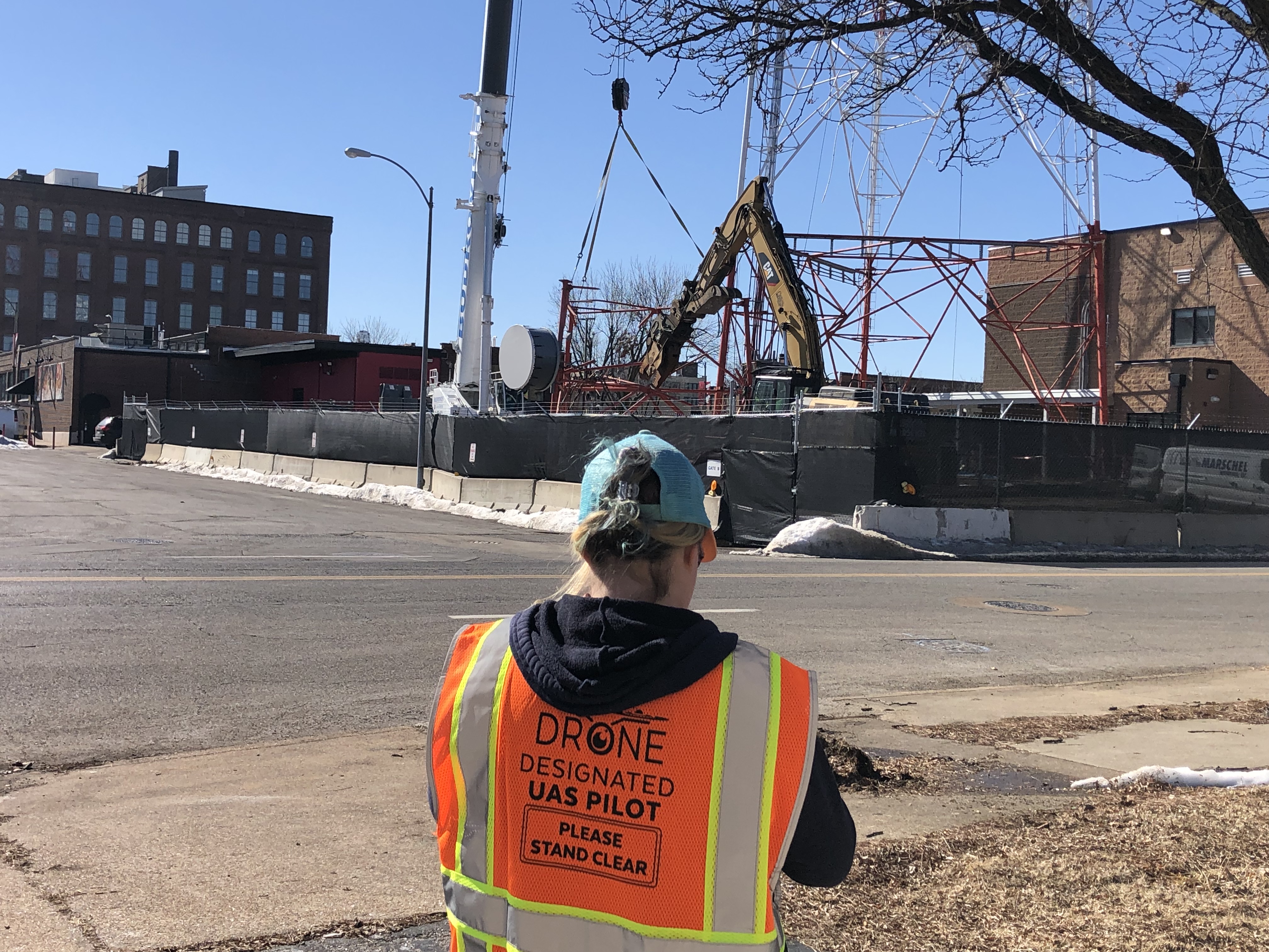
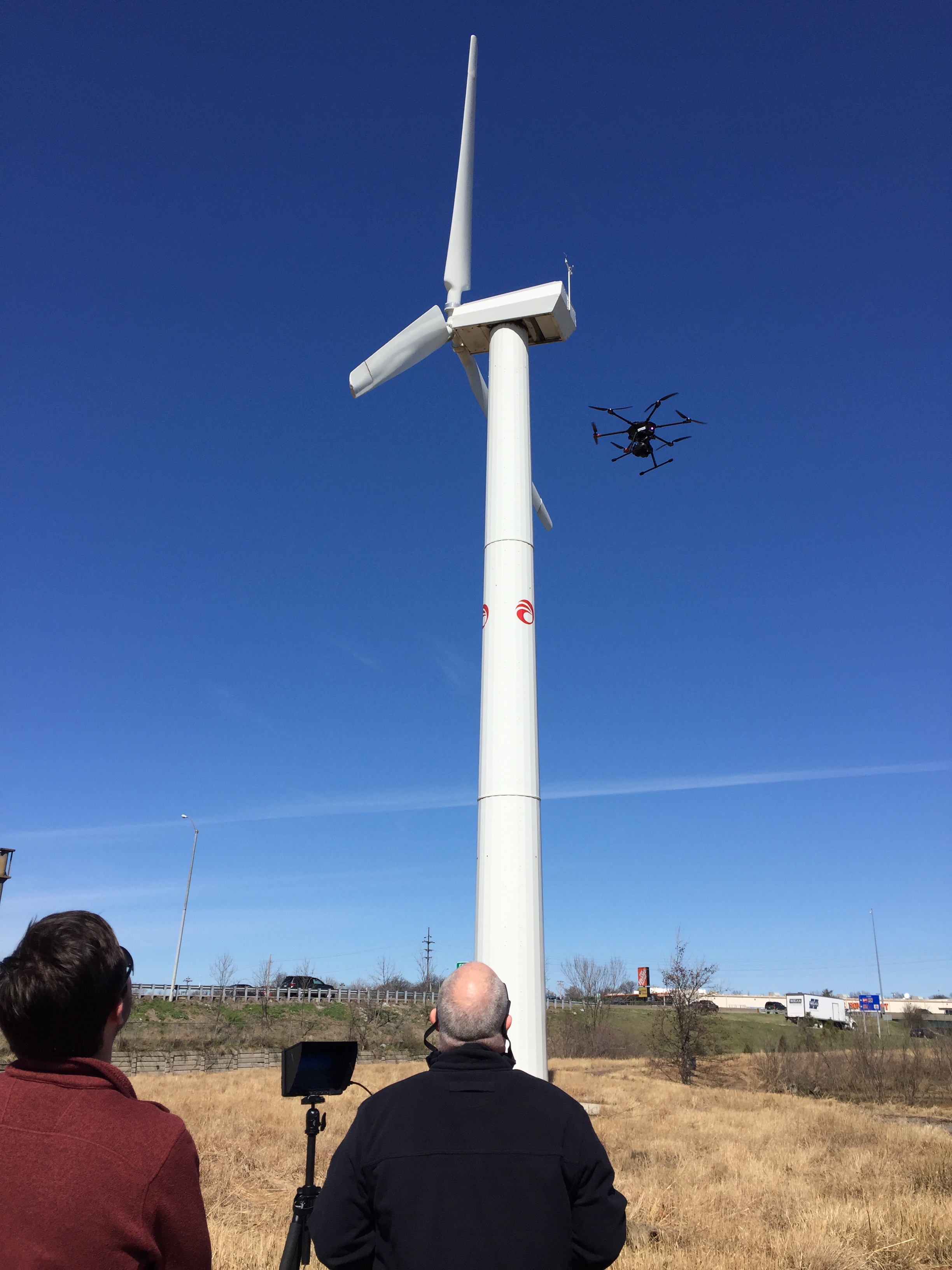
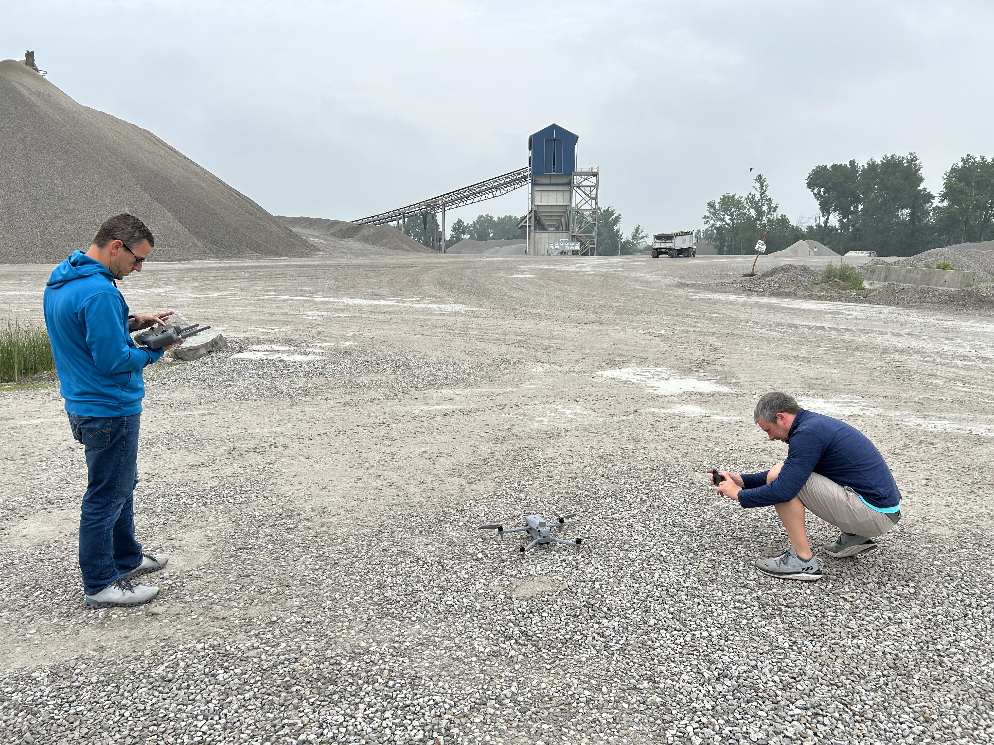
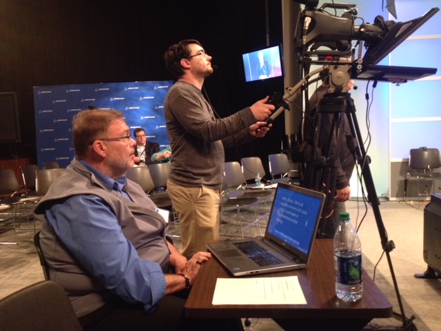
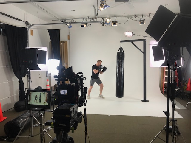
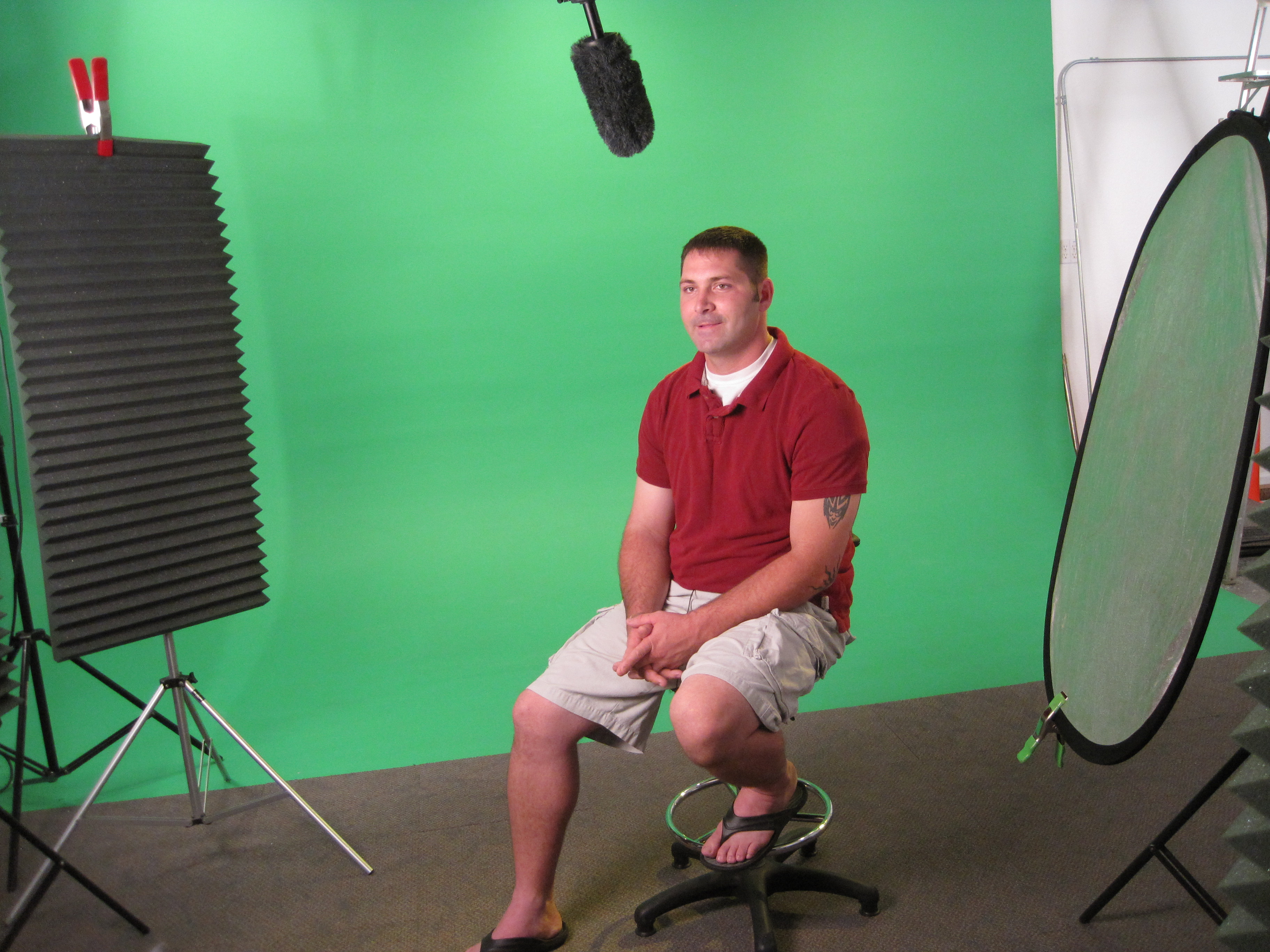
At St Louis Aerial Photography, we bring far more than drone flight capability to a project. We are a full-service professional commercial photography and video production company with the right equipment, creative crew, and service experience for successful image acquisition. We offer full-service studio and location video and photography, as well as editing, post-production, and licensed drone services. St Louis Aerial Photography can customize your productions for diverse types of media requirements.
Repurposing your photography and video branding to gain more traction is another specialty. We are well-versed in all file types, media styles, and accompanying software, and we use the latest in Artificial Intelligence for all our media services. Our private studio lighting and visual setup is perfect for small productions and interview scenes, and our studio is large enough to incorporate props to round out your set. We support every aspect of your production—from setting up a private, custom interview studio to supplying professional sound and camera operators, as well as providing the right equipment—ensuring your next video production is seamless and successful. We can also fly our specialized drones indoors.
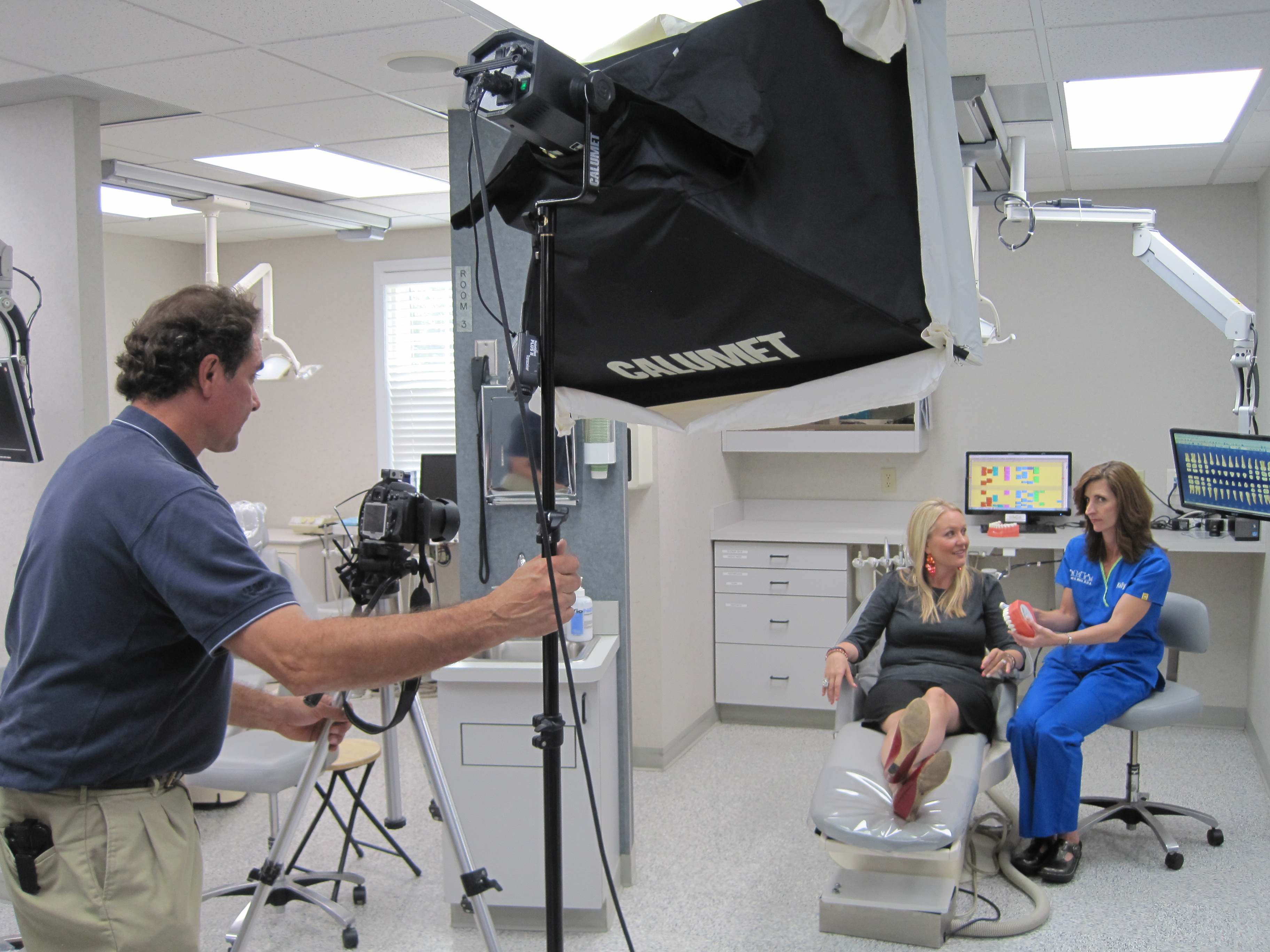

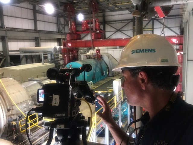
Since 1982, St Louis Aerial Photography has worked with many businesses, marketing firms, and creative agencies in the St. Louis area for their marketing photography and video. Whether your project involves infrared roof documentation, aerial imaging, commercial photography, branded video, or a complete media strategy, our team has the experience to help you capture the right visuals and turn them into useful, high-value assets.